
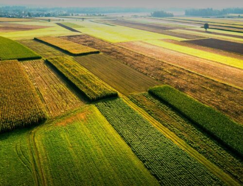
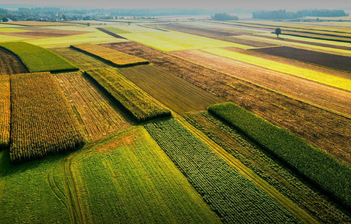
Mapping your fields
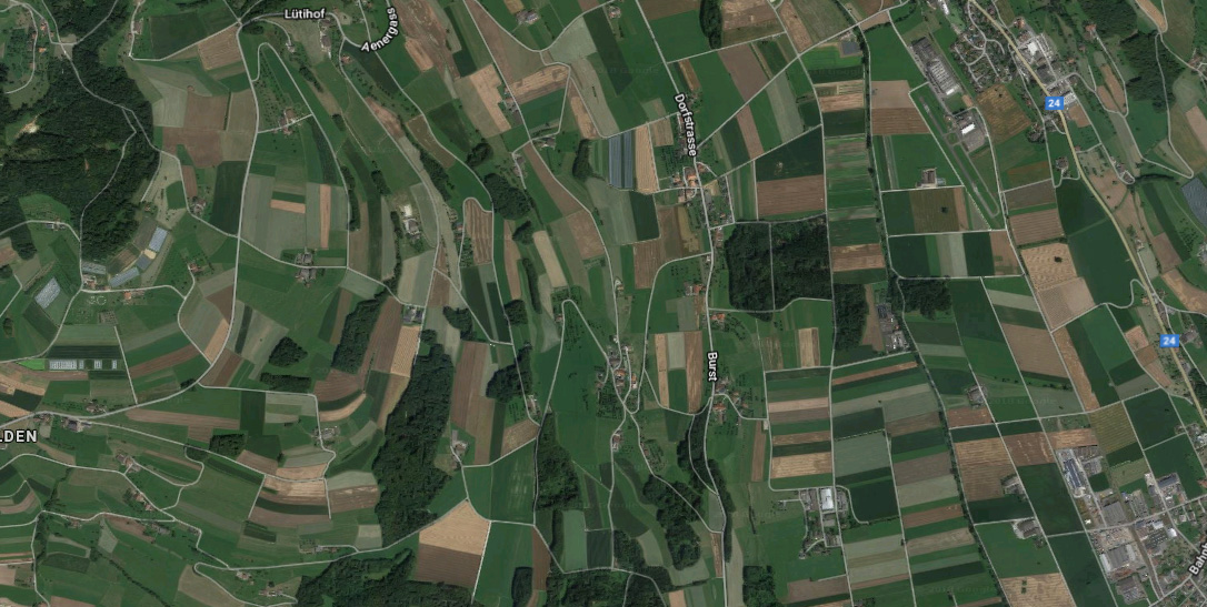
QuickTrials allows you to record fields on a map so you can see where trials are being conducted. High resolution satellite maps available with our Large and X-Large subscriptions allow you to zoom in and see fine landscape details while zooming out makes it possible see where all the fields and sites are located.
Record a field shape with the QuickTrial App
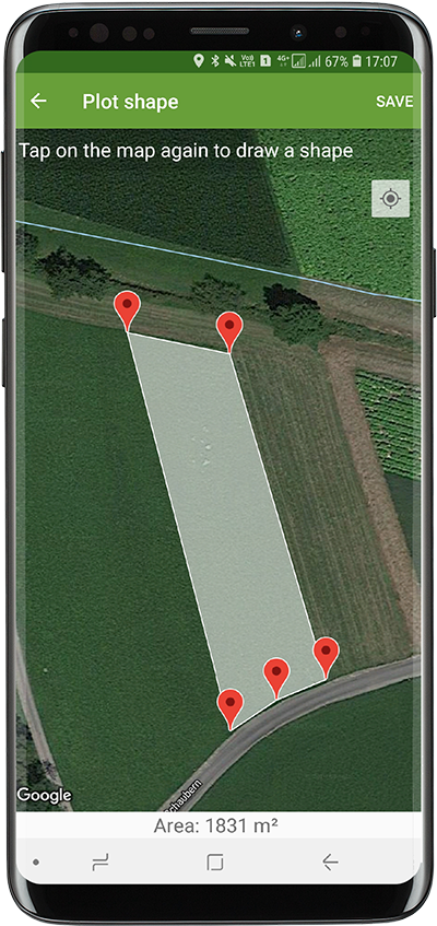
The QuickTrials app can be used to record a field shape by simply marking the corners on a map. The app then automatically calculates the field size based on the recorded shape so you know exactly how large each field is. No need tomanually measure or guess field sizes anymore!
Field staff observations on a map
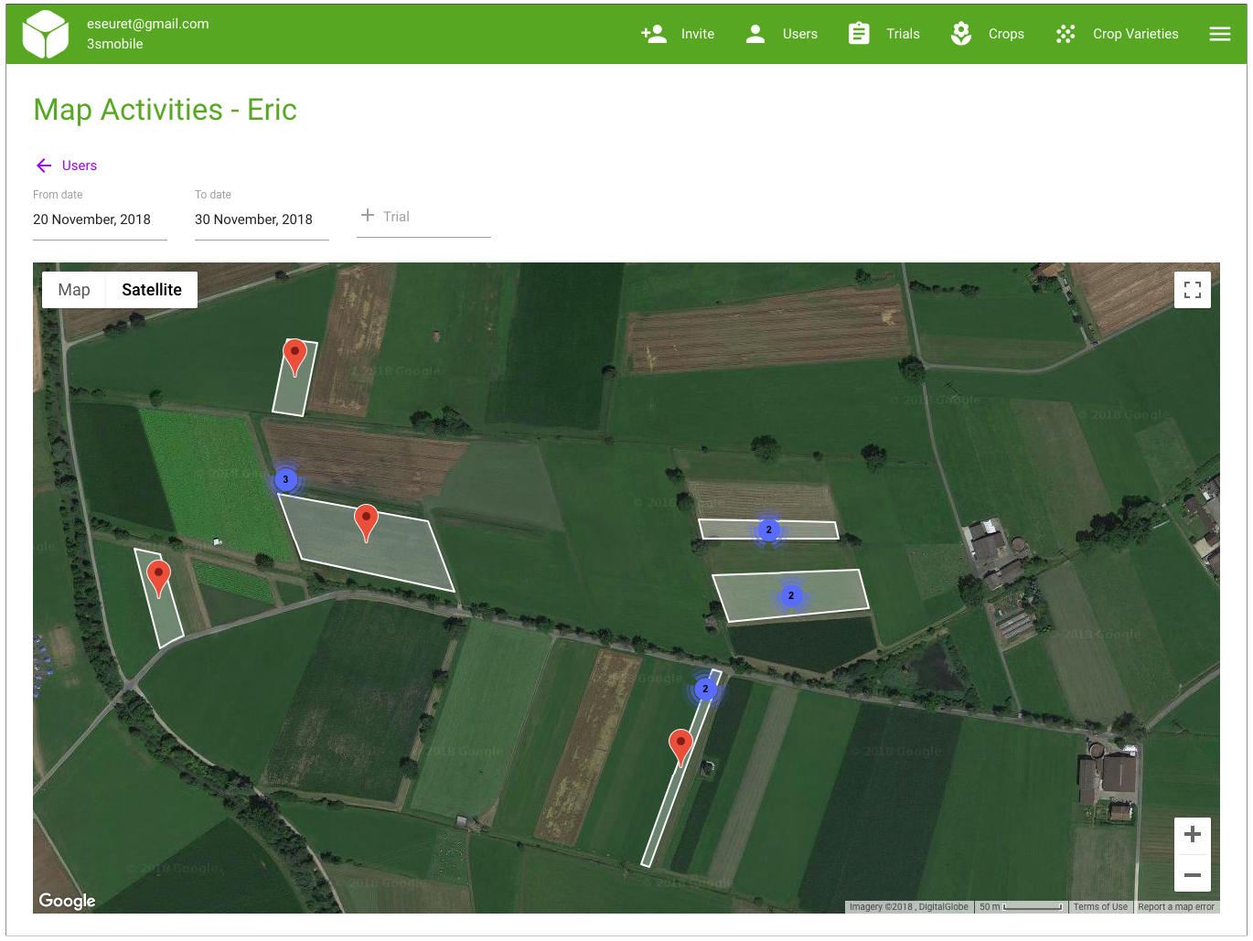
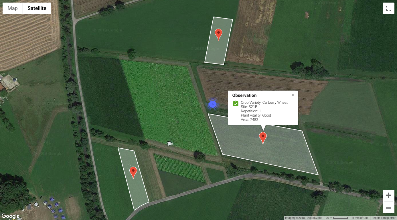
To optimise site visits and plan travel more effectively, managers can now select a field staff and see a map containing all of the locations where that staff has entered observations so far. This allows managers to see patterns in terms of physical visits and the map points can be filtered by trial or date ranges (Eg. Only show the observations captured last week).
We hope you enjoy using the mapping features to visualise trial activities and help make visits more effective. As always we love to hear from you if you have some feedback!


